The Whakamaru Trail begins on the water’s edge at the Lake Atiamuri boat ramp, with 360° panoramic views of the glass-like lake surrounded by forest, and the dramatic Pohaturoa Rock volcanic “plug” formation taking centre stage in the distance. Follow the trail for a short distance to the Atiamuri Power Station with the calm waters on the lakeside of the 171-metre-long concrete dam, contrasting with the powerful water flow through the turbines on the riverside.

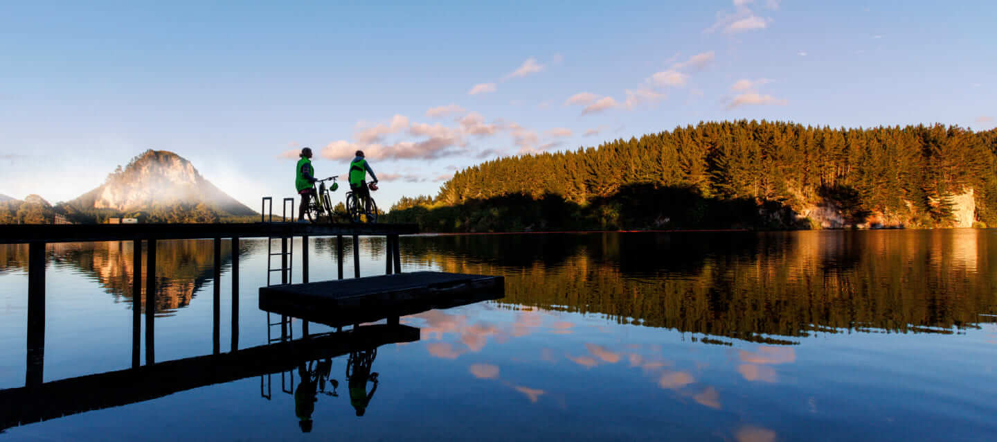
Dam, that's what you call a panoramic view!

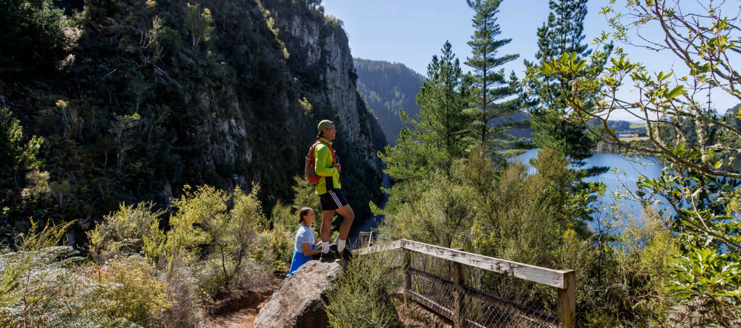
A hell of a climb, that's worth the heavenly views

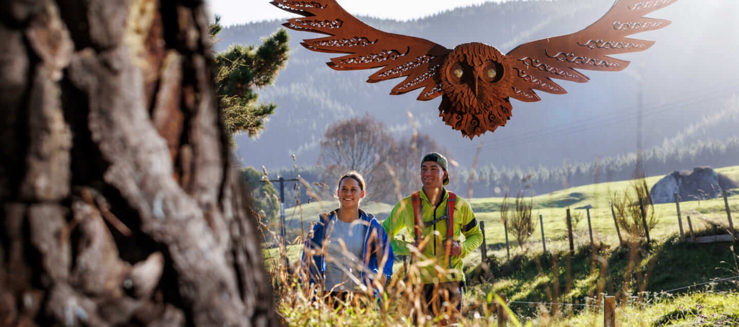
Encounter NZ's most widespread owl species


Trail Grade Info

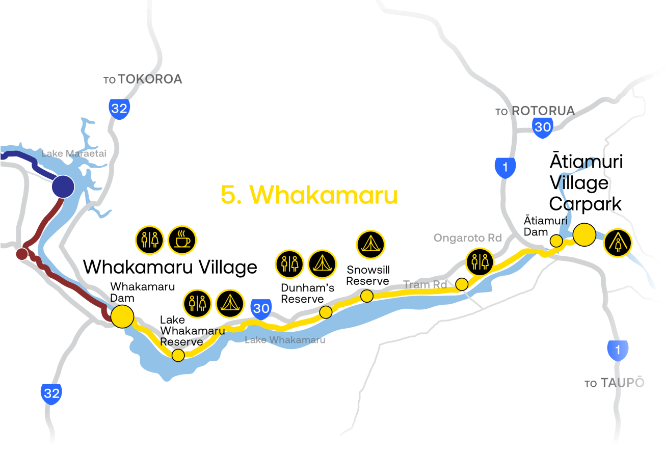
The Whakamaru Trail is 26km and is graded as 3 (Intermediate).
GRADE 3 (INTERMEDIATE)
Off road trails can be narrow and may include hill climbs and steep drop-offs. The trail surface is mostly firm, but may include muddy or loose sections. There may be obstacles to avoid.
Intermediate
26km


Lake Whakamaru Reserve


Dunham’s Reserve

Enroute to Atiamuri
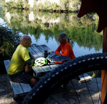
The Trail!

The Whakamaru Trail begins on the water’s edge at the Lake Atiamuri boat ramp, with 360° panoramic views of the glass-like lake surrounded by forest, and the dramatic Pohaturoa Rock volcanic “plug” formation taking centre stage in the distance. Follow the trail for a short distance to the Atiamuri Power Station with the calm waters on the lakeside of the 171-metre-long concrete dam, contrasting with the powerful water flow through the turbines on the riverside.
From here the trail heads toward the Atiamuri Road Bridge where you’ll cross the river before heading underneath the bridge to the tree-lined forest trail below. Under a canopy of native trees, the trail follows the turquoise river and sheer rock faces on the opposite side towards a rest area and a viewing photo frame looking across the river toward Pohaturoa Maunga. Estimated to have originated between 350,000 to 500,000 years ago, the 245 metre Pohaturoa lava dome was created by an explosion of gas and 900°C rhyolite magma being forced through a vent in the earth. Pohaturoa is a significant cultural landscape feature and oral history speaks of it as once being a kainga (settlement) and a pā (fortress).
The next section of the trail winds between the river, lush native plants and trees, and farmland as you cross small bridges and boardwalks accompanied by the rich sounds of nature and birdsong in the background. Adding to the native birdlife along the trail is a large steel morepork sculpture whose wings dramatically span the width of the trail. The morepork was created by James Wright, a New Zealand sculptor whose inspiration is drawn from his heritage and rural upbringing, and provides a dramatic backdrop for a trail photo.
The trail continues past MiCamp, located on a small island on Lake Whakamaru, connected by a causeway to the mainland. Set on a beautiful piece of paradise surrounded by majestic scenery, MiCamp provides accommodation and outdoor activity programmes that promote an appreciation of the natural environment surrounding the camp. Not far from here is Dunham’s Point Reserve, a secluded campsite beside the lake set amongst trees with beautiful mature grounds – a popular place to get away from it all “off the grid”.
Continue along the trail to the “Stairway to heaven” – the Ongaroto Bluffs staircase with five flights of steep steps and take in the heavenly 360° view – from Ongaroto Bluffs to the shoulder of the Pohaturoa rock, and the two rocky peaks of Kaahu and Whakaahu above Whakamaru Village – and the 25km of Waikato River Trails that stretch from Atiamuri to Whakamaru.
The final stretch of the trail takes you past Lake Whakamaru Reserve, popular with summer campers and watersports lovers, toward the Whakamaru Dam. Take in the spectacular view across the dam and the river as it flows off into the distance, before finishing the trail at the rustic Dam Village Bakery Café for a well-deserved rest.